Estimate nearby population
Aggregate the selected population layer inside a consistent straight-line boundary.
Draw a 0.5–100 km radius around a location, then use Horizon Mapper to estimate the population inside it and inspect the zone on the live map.
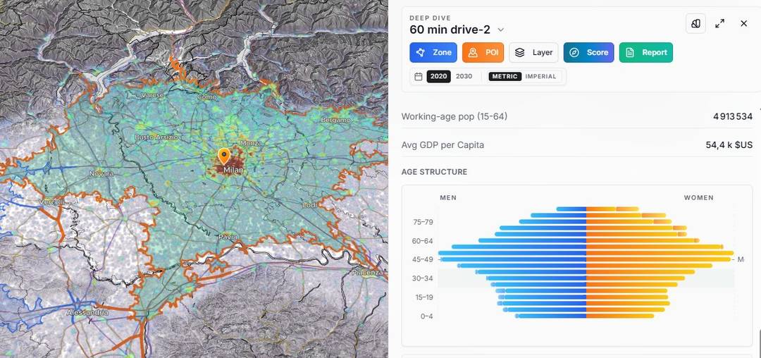
The same analysis panel is available after a radius zone is created.
Search for a center, choose the radius and open the live map with the zone ready to analyze.
A radius answers a distance question. It is useful when the same geometric threshold must be applied everywhere, independent of roads or travel mode.
Aggregate the selected population layer inside a consistent straight-line boundary.
Keep the distance fixed, move the center and compare like with like across possible locations.
Open the same zone in the analysis panel to review available population and age-structure context.
Roads, paths, bridges and barriers do not follow a circle. Switch to a travel-time catchment when accessibility matters more than equal straight-line distance.