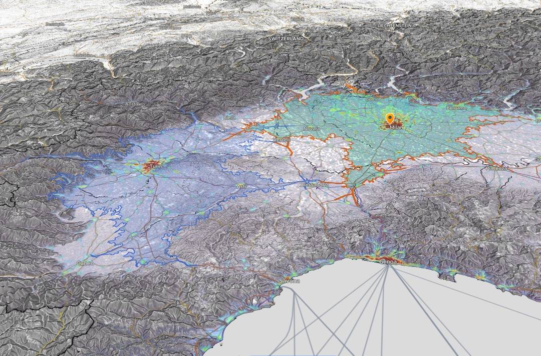
Start with the decision, not the shape
A catchment is a model of who or what belongs around a location. Before drawing one, decide whether your rule is about physical proximity or about how people are expected to travel. A radius and an isochrone can start from the same point and still include very different neighborhoods.
If the boundary is going into a presentation or a decision pack, state that rule plainly: for example, 'within 5 km of the site' or 'reachable within a modeled 20-minute drive.' That wording is part of the evidence.
What a radius map actually answers
A radius is a circle measured from a center point. Every point on its edge is the same straight-line distance from the center. That makes it easy to reproduce, explain and compare across locations.
The trade-off is equally clear: a radius does not know whether a river has a bridge, whether a motorway has a nearby exit, or whether a walking route is connected. It should not be described as a travel-time boundary.
- Good fit: distance-based rules, early screening and simple proximity comparisons.
- Weak fit: questions where crossings, road topology or travel mode determine access.
- Main sensitivity: the chosen center and distance threshold.
What an isochrone map actually answers
An isochrone estimates the area reachable from an origin within a selected travel time. Horizon Mapper requests driving, walking and cycling polygons from OpenRouteService over mapped OpenStreetMap networks. The returned shape follows the routing profile rather than expanding evenly.
That makes an isochrone more relevant to access questions, but it also introduces more assumptions. The route graph, profile, origin, duration and available network data all influence the result. Horizon Mapper uses typical routing speeds and does not claim live-traffic conditions.
A practical choice for common decisions
For a quick proximity rule, start with a radius. For a customer, delivery, facility or service catchment where route access is the point, start with an isochrone. For a defensible comparison, it is often useful to view both: the circle shows the simple distance assumption and the isochrone shows how the network changes it.
- Retail or facility access: usually an isochrone, with more than one duration.
- A fixed distance policy: a radius, because the policy itself is distance-based.
- Early site screening: a radius can be fast; validate shortlisted sites with travel time.
- Walking access: an isochrone is more informative where crossings, paths and barriers matter.
Test whether the conclusion survives
A boundary should not become a cliff in your reasoning. Compare nearby origins and adjacent thresholds: 10, 15 and 20 minutes, or 3, 5 and 8 km. If the recommendation reverses after a small adjustment, the decision is sensitive and should be presented that way.
Then inspect the evidence inside the selected area. Population, demographics and POIs are estimates tied to their own source coverage and resolution. A more realistic boundary does not remove uncertainty from the data placed inside it.